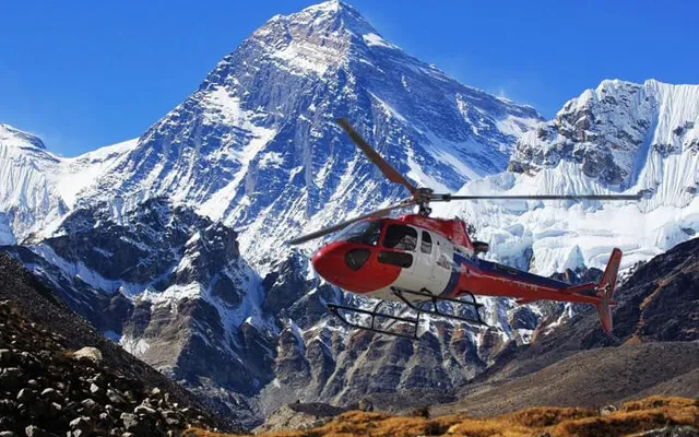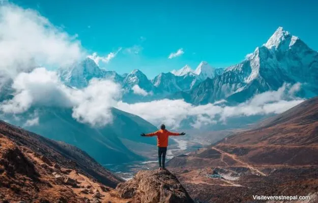
Trek of Gokyo Ri in the Sagarmatha National Park offers one of the best panoramic views in the entire Sagarmatha Zone. This is a complete guide to find out what you’ll expect on the Gokyo Ri Trek.
The Everest region is magical, with incredible mountains, beautiful landscapes, and ancient traditions. This region has it all. The Sagarmatha National Park is home to hundreds of florals and fauna. The Khumbu region is rich in natural beauties, and varieties of wildlife. Gokyo Ri trek, Sagarmatha National Park is one of the most exciting treks in Nepal.
Sagarmatha National Park is home to many rare species like snow leopard and the lesser Pandas. Mount Everest dominates this area. Sagarmatha National Park is enlisted in the World Heritage Site as well. I believe one must make a visit to this beautiful place once in their life. You will get to experience a different culture and heaven on earth. Gokyo Ri trek in Sagarmatha National Park allows you to view some of the highest mountains in the world. It includes the mighty Mount Everest (8848m).
Information on Gokyo Ri Trek on Sagarmatha National Park
Gokyo Ri is a peak in the Khumbu Region located beside the town of Gokyo, just to the west of Ngozumpa Glacier. Although it’s one of the best viewpoint “peaks” accessible without any climbing, many miss it due to favoring the increasingly crowded Everest Base Camp Trails.
While the high altitude would constitute a large peak anywhere else, you have to remember that you’re in the Himalayas. In comparison to the surrounding Himalayan giants, Gokyo Ri is actually considered a hill rather than a trekking peak.
During my time trekking in the Nepal Himalayas, Gokyo Ri was my favorite viewpoint. Many trekkers actually use Gokyo Ri as a target point for their Khumbu treks. In fact, the Gokyo Lakes trek is quickly becoming the most popular EBC (Everest Base Camp) alternative.
Altitude of Gokyo Ri
The Gokyo Ri altitude is 5360 meters. This means that trekkers departing from Gokyo (4790M) will need to gain 570 meters of altitude in order to reach the summit of Gokyo Ri.
Gokyo RI Trek Difficulty
In terms of the Gokyo Ri trek difficulty, it’s considered a fairly easy viewpoint by Himalayan standards. In saying that, you’re still going to be walking at a high altitude and you will need to be properly acclimatized. Trekking to the top of Gokyo Ri doesn’t require any technical training or equipment. The trail is not extremely steep but has a consistent incline for the entire duration, so general fitness is required.
Still, if you’ve already walked yourself all the way to Gokyo, you’re going to have no problem getting to the top of Gokyo Ri, assuming you’ve followed proper acclimatization strategies.
How long does it take to get to the top of Gokyo RI?
Expect 3 hours to reach the top of Gokyo Ri from Gokyo village and closer to 2 hours on the descent. This time will vary depending on how often you stop and the speed at which you walk.
Gokyo Ri Side-trip On The Three Passes Trek
Walking to the top of the Gokyo Ri is one of the best side-trips available on the Three High Passes Trek. I wouldn’t really consider it an acclimatization hike if you’re trekking anti-clockwise, because by now you’ll be well acclimated to altitudes above 5000 meters. However, if you’re attempting the Three Passes in the clockwise direction, it would be a good warm-up before Cho La. However, you’ll need to make sure you are physically ready for the high altitude.
Travel Insurance For Gokyo Ri Sagarmatha National Park
For most trekkers looking Gokyo Ri Trek, travel insurance is high on their list of priorities. However, more travel insurance companies don’t cover trekking at altitudes above 4000 meters.
Day to Day Itinerary for Gokyo Ri Trek
Day 01: Flight From Kathmandu To Lukla (2860m), Trek to Phakding (2610m)
- Trekking time: 3 to 4 hours max
- Difficulty: Easy
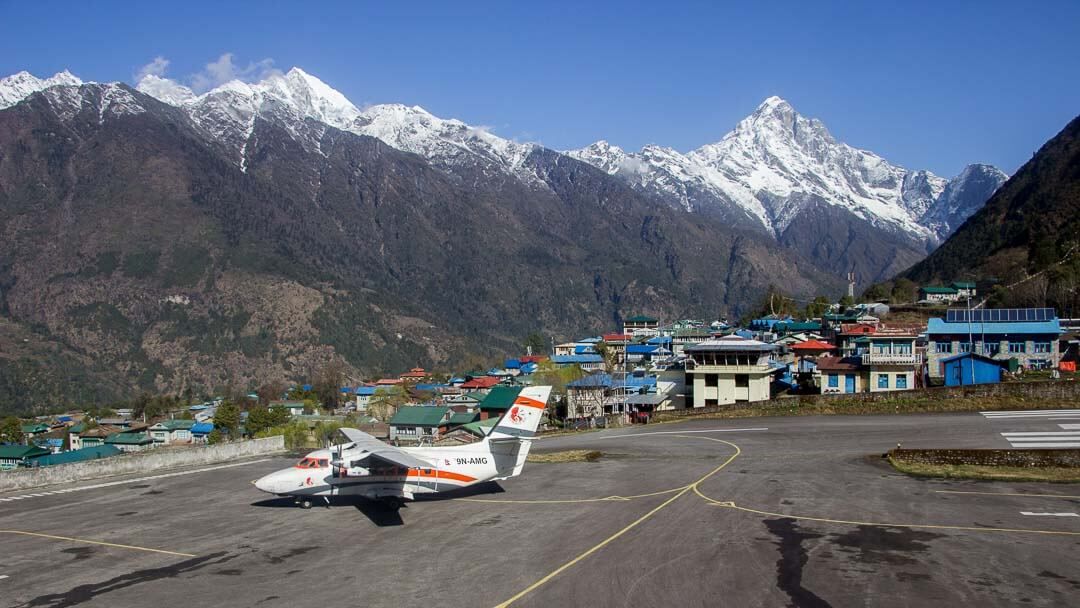
Most flights from Kathmandu to Lukla leave in the morning. The weather can be really bad in the day time. An early flight from Kathmandu will take you to Lukla. During this 354 minutes flight, you can see incredible views of the mountains and beautiful terrains.
Lukla airport is one of the most dangerous in the world. I am always terrified of landing in this airport. The airport lies between hills, and I’m sure this will be a thrilling experience for you.
Upon arriving at Lukla, explore this small town and its streets. You will have a delicious lunch in the traditional Sherpa Eatery. And start hiking towards Phakding when you are ready. There are a few suspension bridges over a beautiful river on the way to Phakding.
After a few hours of a smooth hike through beautiful landscapes, you will arrive at Phakding. Rest at Phakding for the night.
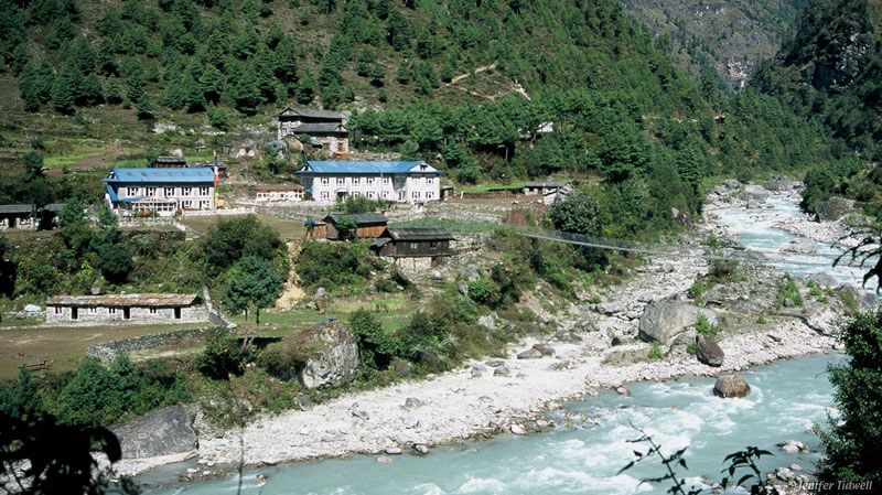
Day 02: Trek From Phakding to Namche Bazaar (3440m)
- Trekking time: 6 hours
- Difficulty: Moderate
You will leave for Namche Bazaar today. It is better to start early, while the sky is clear and the birds are singing. The hike from Phakding to Namche Bazaar has lots of ups and downs. Start hiking from Phakding, and after 2 hours, you will reach Monjo, a small town.
Monjo is close to Namche Bazaar. Leaving Monjo behind, you will hike on a smooth trail for about 1.5 hours. Then after crossing a few suspension bridges, you need to take an uphill climb to reach Namche.
You will arrive at the checkpoint to Namche after climbing for around 2 to 3 hours. Register at the entry checkpoint and walk for another 15 minutes to reach Namche.
Namche is a small town. This place is beautiful and gets busy during these trekking seasons. There are beautiful houses and beautiful people in Namche. This place is rich in natural beauty and ancient Sherpa culture. You will stay at a nice Hotel with Wi-Fi and Hot shower.
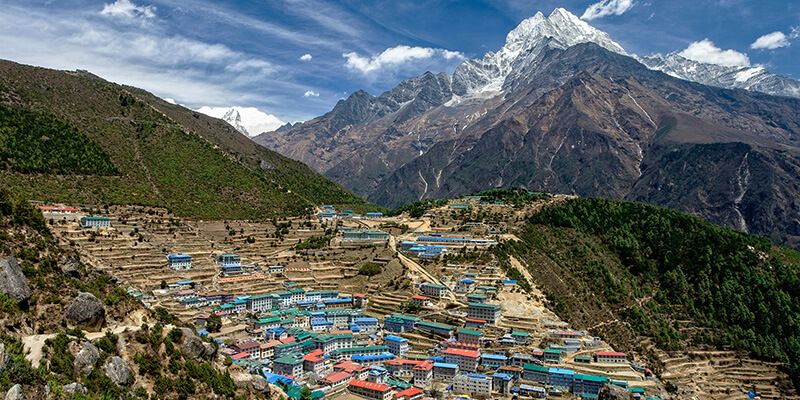
Day 03: Acclimatization at Namche
- Trekking time: 6 hours or more
- Difficulty: Easy
You will get to spend another day at this beautiful place, as your body needs proper acclimatization. Getting used to the altitude is very important. It will lessen the risk of altitude sickness.
But it is not a day to rest at your hotel. You need to do short hikes and explore this beautiful place. Explore this beautiful place at the Sagarmatha National Park.
Get up early in the morning, have some breakfast, and start hiking North. If you are lucky, you will get to witness the peaceful Buddhist chanting in a local monastery in a small village (Khnude village). You can get a great view of the valley from this place.
There is another small but famous village just 10 minutes east of Khunde village. Khumjung village is popular among many trekkers. Khumjung is where you can get your first sighting of the sacred Ama Dablam mountain. You can rest here, have lunch, and head off south to the Everest View Hotel. And as the name suggests, you can view Everest from here.
You will have a relaxing evening at Namche with some hot tea and bread. There is no ATM ahead of Namche. So, make sure you have enough cash and gears. You will not find anything later on this journey. Plus, do not forget to take a hot shower here; you will rarely get any for the rest of your trekking.
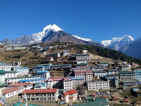
Day 04: Hike from Namche to Dole (4038m)
- Trekking time: 6 hours
- Difficulty: Easy to Moderate
You will cross the 4000m altitude today. But the acclimatization yesterday works like magic. You will not suffer from altitude sickness. After a day well spent at Namche, you will continue your journey. Your destination for today is Dole.
Today’s hiking is exciting and tiring. You will be walking through dense forests, leaving the classic Everest Base Camp route on the other side. The uphill hike can be tiring, but your reward is the incredible views of Mount Everest. Ama Dablam and Lhotse.
There are ancient monasteries and a small Sherpa civilization for you to explore. You need to walk across beautiful Pine Forest. It will take you about 6 hours from Namche to reach Dole.
You will rest at a local tea house for the night.
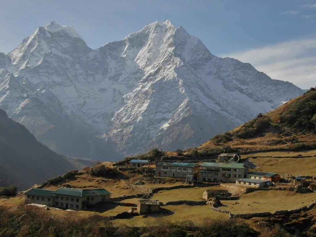
Day 05: Hike from Dole To Machhermo(4470m)
- Trekking time: 5 hours
- Difficulty: Easy to Moderate
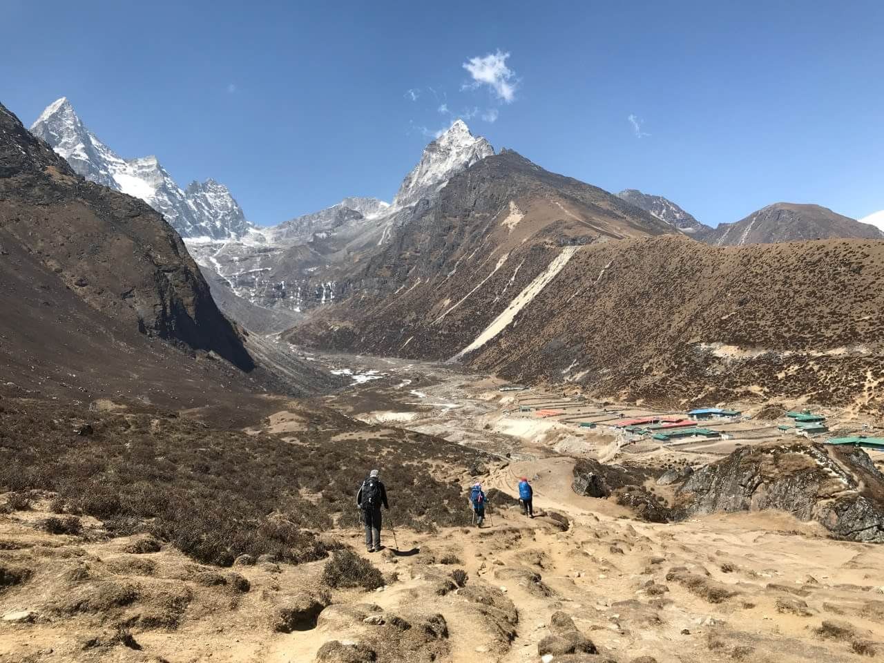
Your destination for today is Machhermo. Today’s hike includes some pleasant walks through the pine and oak forests. There are some smooth tracks as well as some steep paths. You will be walking alongside the beautiful terrains and mountains at a distance.
It is a short hike from Dole to Machhermo. After gaining some altitude and hiking through gent
Machhermo (4470m)
le slopes, you will reach a small village, Machhermo. There are small Sherpa settlements at Machhermo. You will spend the night here.
Day 06: Reach Gokyo (4800m) And Explore
- Trekking time: 5 hours
- Difficulty: Moderate
You will be reaching Gokyo today. This beautiful place lies in the region of Sagarmatha National Park. After a pleasant breakfast at Machhermo, you will head off towards Gokyo. You need to hike on a steady uphill to reach the Gokyo village.
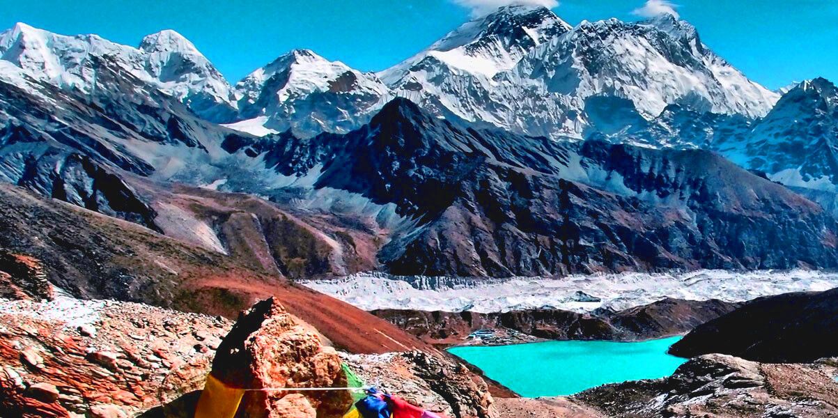
This hike is exciting, with some rocky trails and beautiful sceneries in the way. You might see different animals while you hike towards Gokyo. The red panda might come and pay a visit to you. Make sure you do not scare these rare animals. You will also get to view the fascinating Ngozumpa Glacier, Gokyo Lake I, and a few monasteries on your way towards Gokyo.
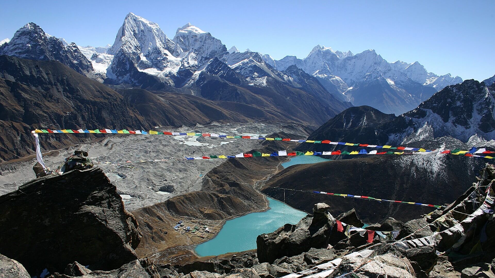
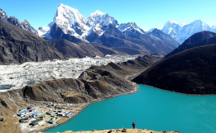
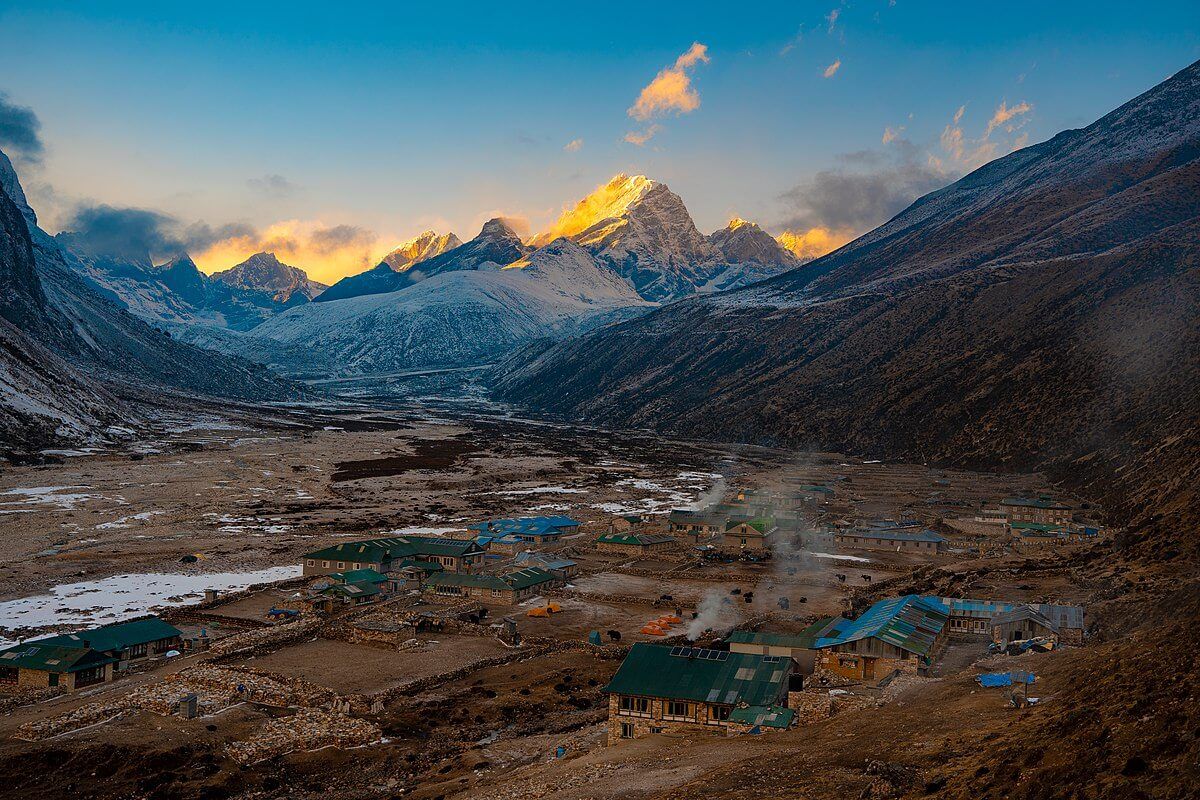
Gokyo valley is beautiful. This small valley is surrounded by huge peaks, and there are lots of lakes around the valley. An ancient Sherpa settlement fills the small village of Gokyo. Feel free to explore this place, and you will get to see some of the most beautiful landscapes and lakes. You will also see the mountains like Lhotse, Makalu, Cho Oyu, and standing tall among them, the Everest.
You will stay tonight at Gokyo.
Day 07: Morning Hike to Gokyo Ri (5357m) and Gokyo Lake V
- Trekking time: 3-5 hours
- Difficulty: Hard
It is better to climb up to Gokyo Ri in the morning. I suggest you reach the summit before sunrise. It is because the sunrise from this place is one of the most heavenly experiences. However, the climb from Gokyo village to Gokyo Ri is a difficult one.
You need to climb straight uphill on some rocky mountains. There are huge boulders on the way up. The harsh uphill climb on the rocky mountain is tough. This hike reminds me of the climb from Gorak Shep to Kalapatthar.
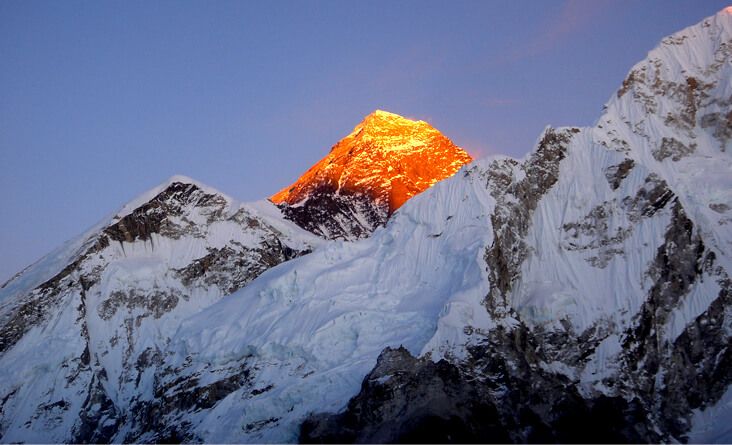
But the reward that you get upon reaching the top is hard to explain. You can see Gokyo Lake and Everest. You can also see the Cho La pass. The panoramic view of the great mountains is mesmerizing. You can see the Sagarmatha region and a huge area of the Sagarmatha National Park from up there.
You can explore the Gokyo village or trek to the fifth Gokyo lake. Experience the beautiful day at Gokyo with its tradition and beauty.
Day 08: Gokyo to Thangna (4700m)
- Trekking time: 2 hours
- Difficulty: Easy
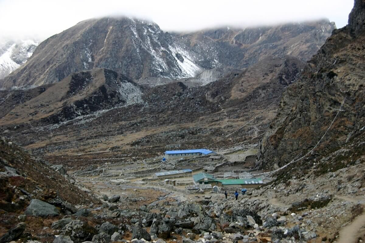
Today’s trekking is a short and pleasant one. You will descent for about 2 hours and reach Thangna. Rest at Thangna for the night.
Day 09: Trek from Thangna to Dzongla (4830m) via Cho La Pass (5420m)
- Trekking time: 7-8 hours
- Difficulty: Very Difficult
You will experience one of the most extreme trekking routes today. The Cho La Pass is one of the three passes in the Sagarmatha region. Start early and head towards Cho La pass. It will be complicated to walk as time goes by.
After crossing a valley, you will trek over the wall of mountains. The upward path that leads to Cho La pass is difficult with rough and scree landscapes. You will reach the summit after about an hour of a hard climb. The mountains afar and the valley beneath are beautiful.
As you move forward, you will come across the Cho La glacier. You will have to walk through this glacier. The path is steep, slippery, and thrilling. You will get across this glacier in about 40 minutes.
The trail continues onward, and you will reach a viewpoint. You will get a breathtaking view of some of the tallest mountains from this point. The valley is as beautiful as ever, and the mountains are incredible.
Continue the descent trail, and you will reach Dzongla. Get some rest for the night at a local guest house.
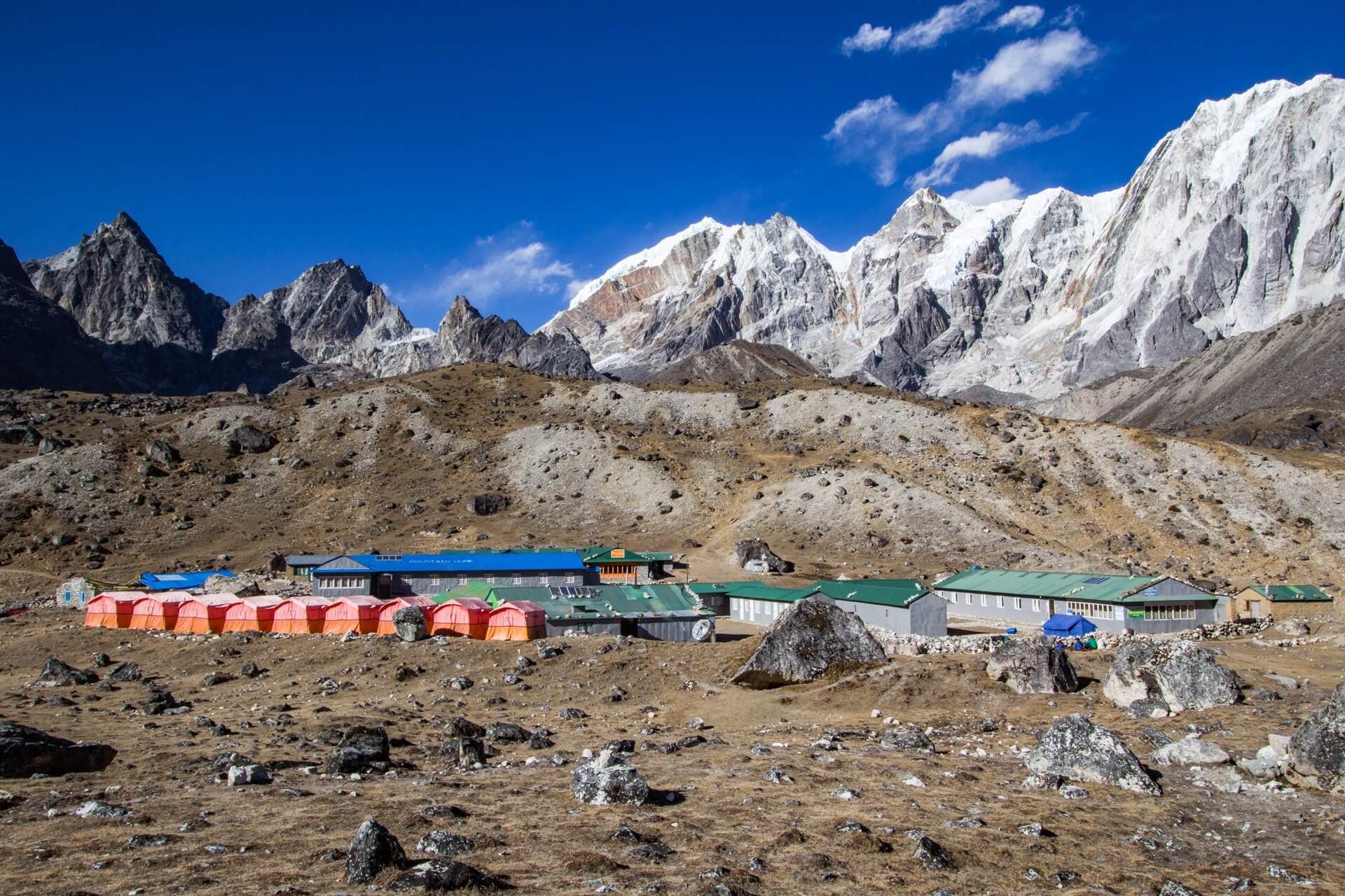
Day 10: Dzongla to Lobuche (4940m)
- Trekking time: 3 hours
- Difficulty: Easy
You will walk on a smooth trail today alongside the Khumbu Glacier and through the valley. Hike for 3 hours, and you will reach Lobuche.
Rest at a hotel for the night.
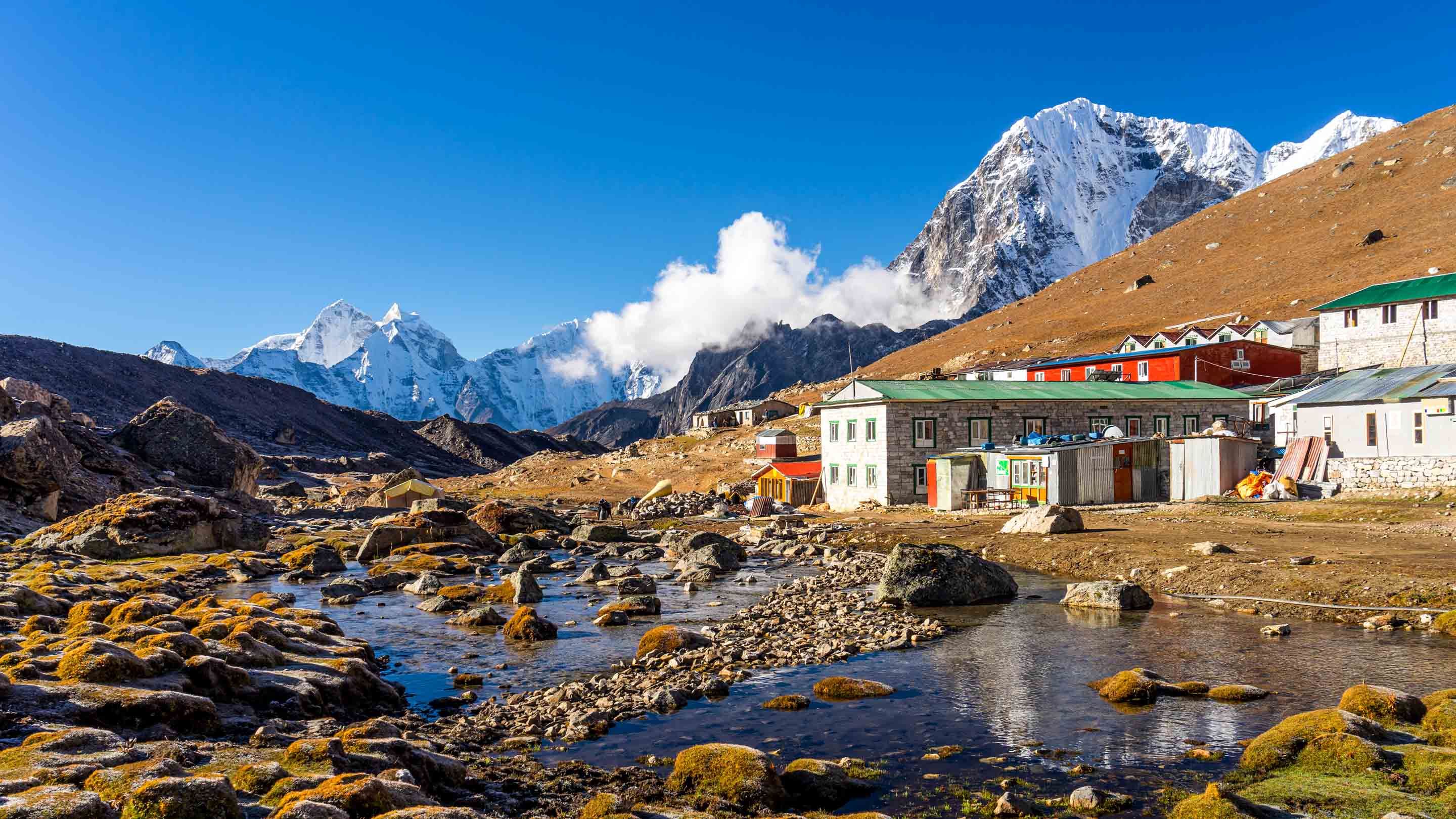
Day 11: Lobuche to Gorakshep and Everest Base Camp (5380m)
- Trekking time: 6 hours
- Difficulty: Moderate
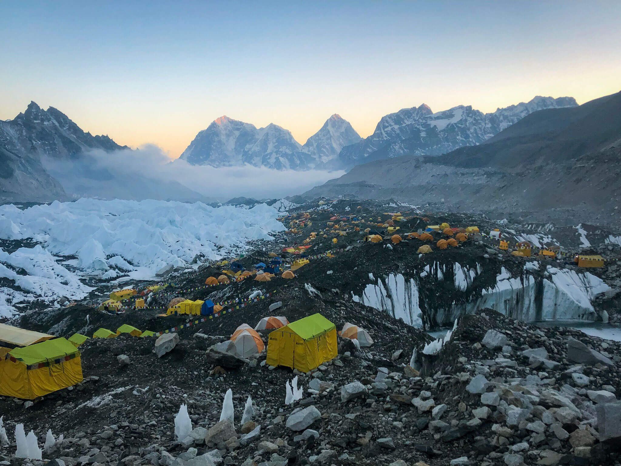
Your destination for today is the Everest Base Camp. It is the ultimate place at the Sagarmatha National Park. The journey starts with a smooth walk. Soon the path begins uphill until you reach Gorakshep.
And after rough hiking, you will reach the Everest Base Camp. The 360-degree panoramic view of the mountains is incredible. The Base Camp is a beautiful place to visit. Take your time and head back to Gorakshep. Rest overnight at Gorakshep.
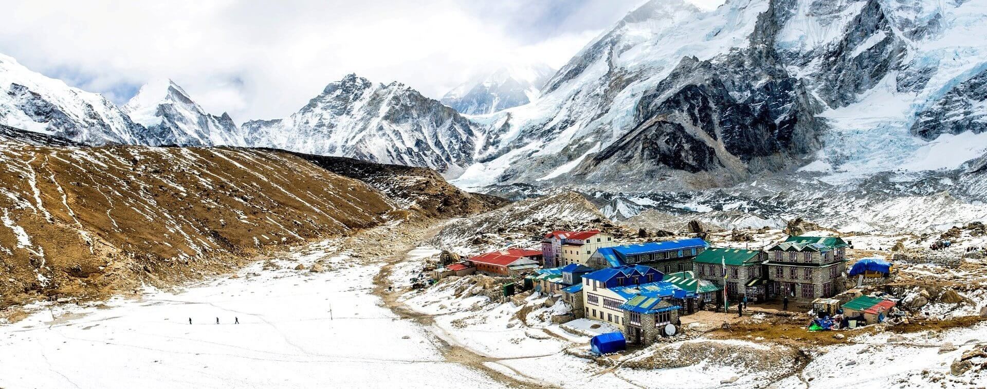
Day 12: Early morning hike to Kalapatthar (5643m) and Hike to Pheriche (4371m)
- Trekking time: 7-8 hours
- Difficulty: Hard
Do you remember the hike to Gokyo Ri? The hike up to Kalapatthar might be even tougher than that one. The uphill climb is tiring, but the reward is incredible. Everest seems much more beautiful from up here than from the base camp. The moment when the first ray of sun hits Everest is out of this world.
The Sagarmatha National Park looks incredible from up there.
Your destination for today is Pheriche. You will see descent towards Pheriche. You will rest at a hotel in Pheriche.
Day 13: Back to Namche
- Trekking time: 7 hours
- Difficulty: Moderate
Your trip to the Sagarmatha region is almost over. The trail to Namche from Pheriche is beautiful. You will walk through dense forests and across rivers. There are many suspension bridges and monasteries.
After crossing a dense Pine forest, you will reach Namche. There are some steep uphill climbs even towards the end of your journey.
Rest at Namche. Have some coffee or hot tea and a hot shower. You deserve it. Rest overnight at Namche.
Day 14: Back to Lukla
- Trekking time: 6 hours
- Difficulty: Moderate
The final day of your beautiful visit to the Everest region ends at Lukla. The past 13 days have been tiring and exciting. Upon reaching Lukla, rest at a hotel. You will catch an early flight to Kathmandu tomorrow.
Source /Credit: Index Adventure for Itinerary
Read Here: Kusma Bungee Jump
Best Time to Trek Gokyo Ri
Autumn (September to November) and Spring (March to May) is the most favorable time to trek in Nepal, and Gokyo Ri Trek is no exception. Weather conditions in Autumn and Spring are moderately warm and stable; excellent for trekking. The skies also tend to stay clear in these seasons, offering the breathtaking spectacles of the mountains.
During the Autumn season, the average temperature of Nepal ranges from 16 to 24 degrees Celsius. Similarly, in Spring, the average temperature ranges from 15 to 23 degrees Celsius in Nepal.
During the Winter (December to February) season, snow covers the trail massively. In extreme conditions, excessive snow may even block the route. If you travel in late February or early March, the turquoise lakes of Gokyo can be completely frozen. However, the trail in the winter season can be tricky and challenging to walk.
Unlike most of the treks in Nepal, Gokyo Ri Trek is not a year-long trekking destination. During the Monsoon (June to August), the trails are wet and slippery, so it is not advisable to trek during this period of the year.
| Location | Elevation (meters) | Average Minimum Temperature (°C) | Average Maximum Temperature (°C) | Annual Rainfall (mm) |
|---|---|---|---|---|
| Kathmandu | 1,400 | 10.1 | 23.6 | 1505 |
| Lukla | 2,800 | 2.8 | 14.7 | 1838 |
| Phakding | 2,652 | 3.9 | 15.6 | 2011 |
| Namche | 3,440 | -0.8 | 11.7 | 1110 |
| Gokyo | 4,800 | -8.7 | 6.8 | 433 |
Web-Source/Credit: Trek Route
Gokyo Ri Trek Permit
Since October 2018, the Khumbu region’s local government has imposed a new permit, replacing the TIMS Card. So, while trekking in the Khumbu region, you no longer require TIMS Card; instead, you need to acquire Khumbu Pasang Lhamu Rural Municipality Permit.
You cannot get this permit in Kathmandu. You can only acquire this permit from either Lukla or Monjo. The cost of the Khumbu Pasang Lhamu Rural Municipality Permit is about USD$ 18 per person.
Additionally, you need to hold the national park permit to enter the Sagarmatha National Park. You can get this permit either from Nepal Tourism Board in Kathmandu or directly from Monjo. The cost of the Sagarmatha National Park Permit is US$ 27 per person.
If you want to embark on the Gokyo Ri Trek from the classic Jiri route, you also need to obtain Gaurishankar Conservation Area Project Permit (GCAP). The cost of the permit is US$ 27 per person and is available at Nepal Tourism Board, Kathmandu.
Remember, all the permit fees are payable in Nepalese currency only. So, make sure to exchange all your cash for local rupees before trekking in this region.
| Required Permits | Cost |
|---|---|
| Khumbu Pasang Lhamu Rural Municipality Permit | NPR. 2,000/ US$18 |
| Sagarmatha National Park Permit | NPR. 3,000/US$ 27 |
| Gaurishankar Conservation Area Project Permit | NPR. 3,000/US$ 27 |
Web-Source/Credit: Trek Route
Gokyo Ri Trek Cost
On average, the total cost of the trek is around US$ 1,500 to 2,000 per person. Keep in mind that the trek’s value may vary depending upon various factors like mode of transportation, route, and number of days.
If you are planning to travel independently, the cost of the trek decrease to US$ 500-1,000 per person.
Here’s the cost breakdown of the services just in case you’re planning to go backpacking in Gokyo Ri Trek instead of the guided trek:
| Services | Cost |
|---|---|
| Khumbu Pasang Lhamu Rural Municipality Permit | US$ 18 per person |
| Sagarmatha National Park Permit | US$ 27 per person |
| Lukla Flight | US$ 150-180 per person |
| Helicopter | US$ 500-600 per person |
| Jeep | US$ 150-300 (6-7 person) |
| Local Bus | US$ 10-12 per person |
| Teahouses | Basic – US$ 3-5 per night Luxury – US$ 500-600 per night |
| Meals | Lower Region – US$ 2-3 per meal Upper Region – US$ 20-30 per meal |
| Trekking Guide | US$ 20-25 per day |
| Porter | US$ 15-20 per day |
| Porter – Guide | US$ 20-25 per day |
| Hot Shower | US$ 2-3 |
| WiFi | US$ 2 per hour |
| Charging | US$ 2-5 per hour |
Web-Source/Credit: Trek Route
Useful Tips for Gokyo Ri Trek
- Since there are no ATMs after Namche Bazaar, carry enough cash for the trek.
- Make sure to carry a sleeping bag.
- Bring a universal travel adaptor as the charging sockets in the teahouses may not pair with your charger.
- It is also convenient to carry a portable charger on the trek.
- Before heading off to the Himalayas, engage in cardio-related exercises to stay physically fit.
- Carry a DSLR camera, so you can capture the mesmerizing views of the mountains.
- Bring a warm down jacket to keep you warm during the night and a hardshell jacket to stay protected from the rain.
Web-Source/Credit: Trek Route
How fit do I need to go trekking in Gokyo Ri?
Can I do Gokyo Ri Trek without a guide?
Is drinking water safe on the trek?
What is the standard of the accommodation on the trek?
Is there any possibility of Acute Mountain Sickness?
Even the most experienced trekkers can suffer from high altitude sickness. Therefore, be aware and keep your body hydrated with plenty of water and fluids to prevent AMS.
Do I need travel insurance for Gokyo Ri Trek?
Is pick up service available on my arrival day in Kathmandu?
Do I need experience for gokyo valley trekking?
What kind of accommodation can I expect on Gokyo ridge lodge trek?
What kind of food can I expect in express gokyo ri trek?
What opportunities will I have for a shower along express gokyo ri trek?.
How do I get drinking water on gokyo ri trekking?
What should my insurance policy cover during gokyo ri trek?
How to prevent altitude sickness during gokyo valley lodge trekking?
What will happen if my scheduled flight in the KtmLukla-Ktm route gets delayed or canceled?
Are there any alternates instead from Kathmandu to Lukla airport flight?
Can I charge my digital camera or other batteries on my trip?
Are there any communication facilities on gokyo ri trek?
Can I use credit cards in express Gokyo Ri trek?
When should I book my trip and what are the payment terms?
Who will carry my luggage on Gokyo treks?
How much distance do I need to hike every day?
Do I need walking polls for quick gokyo treks?
How much additional money do I need per day?.
Web-Source/Credit: Trek Route, Gokyo Treks Nepal